Web designHosting
Aerial Insights
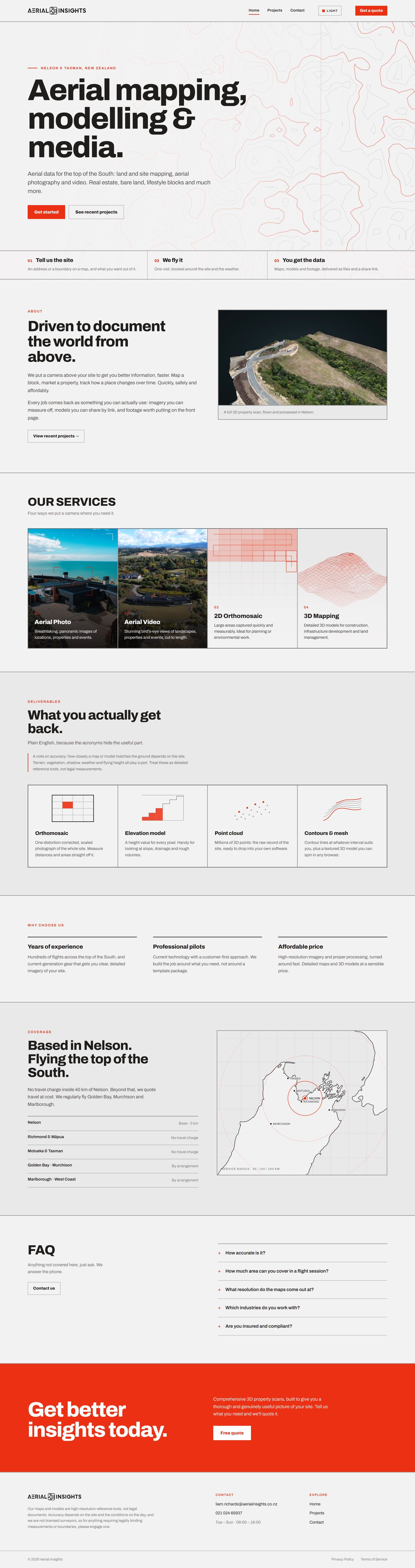
The site for an aerial mapping business.
- Client
- Aerial Insights
- Services
- Web design, Hosting
- Year
- 2026
Brief
Show builders, farmers and land owners what aerial mapping offers, replacing the old WordPress site.
Pages
- Home
- Projects
- Contact
Features
-
Stage viewers
Satellite, orthomosaic and analysis layers
-
Coverage map
Built from coastline data, no map library
-
Embedded 3D models
Nira and WebODM viewers
-
Quote form
Web3Forms
Stack
- Cloudflare Workers
- Hash-based routing
- Canvas 2D
- Vanilla JS and CSS
- No build step
Animation
- Procedural terrain contours drawn on canvas with marching squares
- Flight path and isometric terrain mesh diagrams
- Clip-path wipes between stages
- Video that loads only near the viewport
Design language
- Modernist
- Archivo
- Red accent on warm grey
- Light and dark toggle