Web designHostingAerial mapping
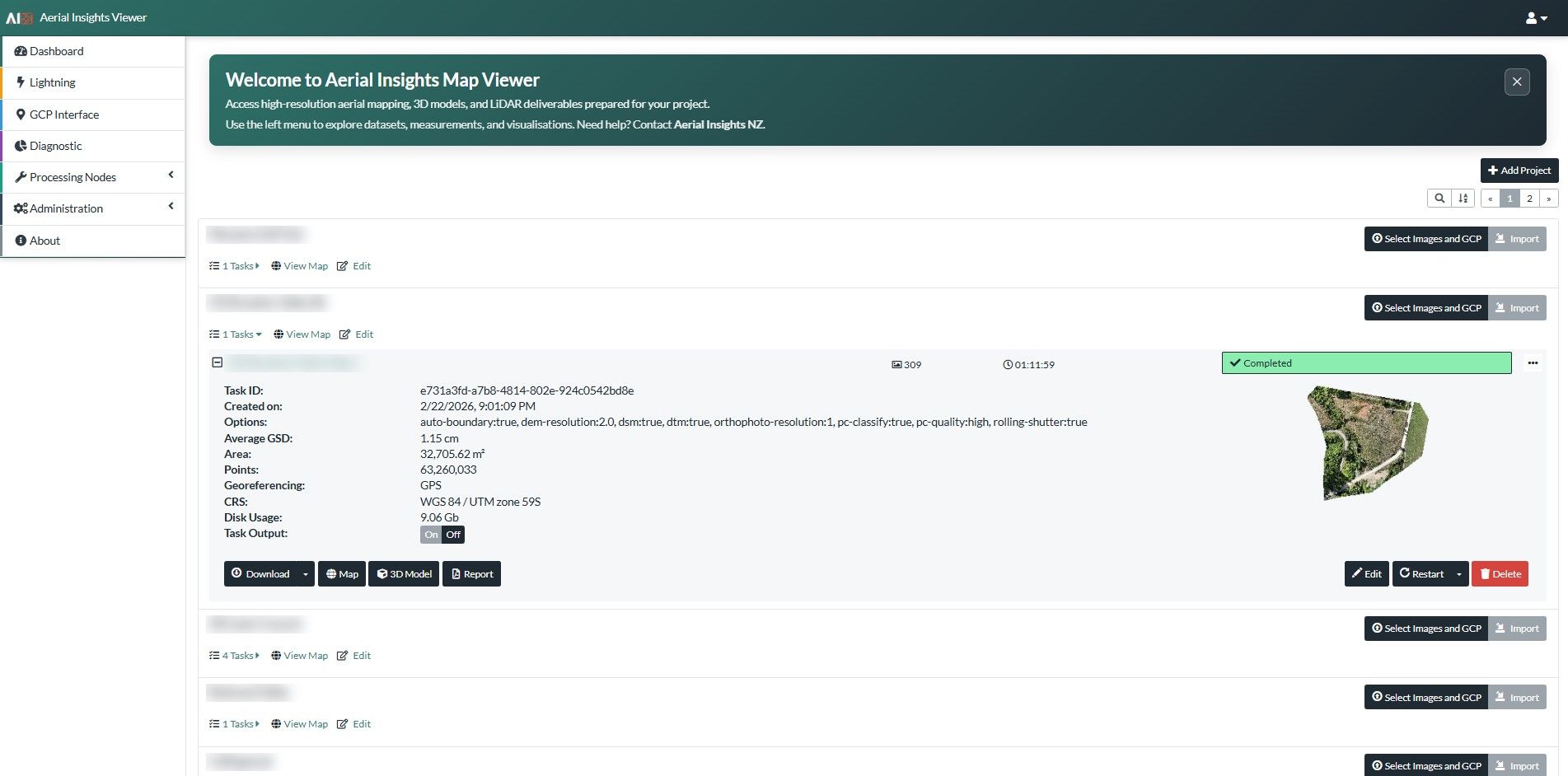
Aerial Insights Map Viewer
A branded WebODM interface for exploring aerial maps and 3D scans.
- Client
- Aerial Insights
- Services
- Web design, Hosting, Aerial mapping
Brief
Let clients open orthophotos, surface models and 3D scans in a browser.
Pages
- Dashboard
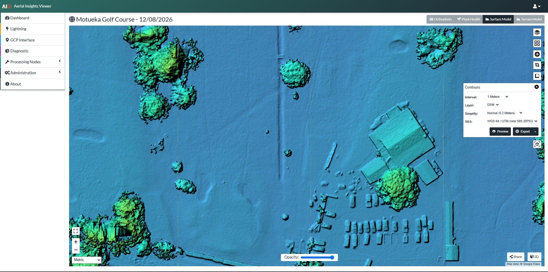
- Map view
- 3D model
- GCP interface
Features
-
Layer switching
Orthophoto, plant health, surface and terrain models
-
Contours and export
Interval, layer and projection settings
-
3D visualisation
-
Share links
Public project and 3D model links
Stack
- WebODM
- Custom branded interface
- Google Maps base layer
Design language
- Teal header
- Light interface
- Aerial Insights branding